03 / In Practice
Why CAD-native matters.
The first 30 minutes of every CM call is "where is this asset?" CAD-native asset placement collapses that to a click. Multiplied across hundreds of work orders per month, the time recovery is real.
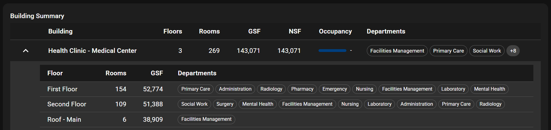
Most CMMS treats CAD as an attachment. Nexus Spatial is CAD-native drawings are first-class objects, assets are placed on them, and clicking a piece of equipment opens its full record.
Four capabilities across ingest, navigation, and execution.
IFC, RVT, DWG, DXF, GIS. Geometry, layers, and properties preserved. Round-trip back to source CAD.
Drag-and-drop assets onto plans. Or auto-place from BIM equipment metadata. Bidirectional link to asset records.
Click any drawing element to jump into the asset hierarchy and work-order history. Reverse: click an asset, jump to its location.
Drawings cached on mobile. Technicians navigate to the asset spatially in the field, photo back to the same coordinates.
The first 30 minutes of every CM call is "where is this asset?" CAD-native asset placement collapses that to a click. Multiplied across hundreds of work orders per month, the time recovery is real.
On-premise by default. Cloud-deployable when required. Your facility data never leaves your network.
TLS everywhere, secrets in vault, row-level security on every query. Containerized and isolated so one service going down never takes the rest with it.
A·IQ is built by Arcis FM, a Service-Disabled Veteran-Owned Small Business (SDVOSB). Set-aside eligible for federal contracts. CAGE 14DG6 · UEI Z95MQL2KEYG3.
Engineer and operator questions on this capability.
No. We ingest existing drawings as-is. Assets are placed on top, not in the source CAD.
Yes. Asset-place changes can sync back to the source CAD as a layer.
Both supported. Most clients maintain design and as-built sets separately.
Yes. Esri ArcGIS, QGIS, GeoServer all supported. Spatial data lives in PostGIS.
Each Nexus module is sharper paired with the next.
Send us a sample DWG or IFC. We will load it, place assets, and show you the navigation experience.